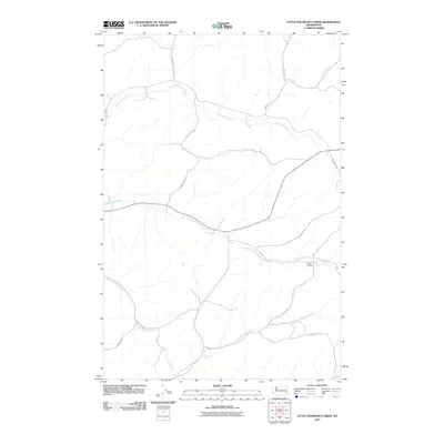
2011 Map of Little Penawawa Creek
USGS Topo · Published 2011About this map
Wilcox Grange sits near the intersection of several rural routes in this section of Whitman County, serving as a community anchor within a landscape defined by deeply incised drainage systems. The topography is shaped by the winding courses of Union Flat Creek and Alkali Flat Creek, which carve through the high basalt plateau. These waterways, along with Little Penawawa Creek and Frog Creek, dictate the placement of local infrastructure, as roads frequently follow the contours of the coulees or bridge the narrow valley floors.
Find a feature on this map
20 named features on this map. Tap any name to fly to it.
Don’t see what you’re looking for? This feature index may not catch every label — zoom into the map to look around manually.
Map Details
Editions of this 2011 Little Penawawa Creek Map
This is the sole edition of this map. No revisions or reprints were ever made.
Other maps of this area

1910 · Pullman
USGS Topo · 1:125,000

1950 · Penawawa
USGS Topo · 1:62,500

1950 · Endicott
USGS Topo · 1:62,500

1955 · Pullman
USGS Topo · 1:250,000

1958 · Pullman
USGS Topo · 1:250,000

1964 · Diamond
USGS Topo · 1:24,000

1964 · Wilcox
USGS Topo · 1:24,000
1964 · Almota
USGS Topo · 1:24,000

1981 · Dusty
USGS Topo · 1:24,000
1981 · Ping
USGS Topo · 1:24,000