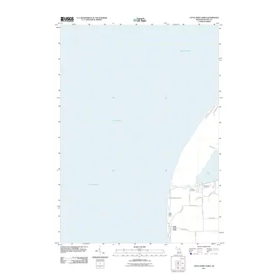
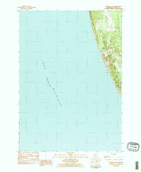
2011 Map of Little Point Sable
USGS Topo · Published 2011About this map
Little Point Sable Lighthouse stands as a prominent landmark on this coastal survey, marking the protrusion of Little Sable Point into the expansive waters of Lake Michigan. This 2011 map reveals a landscape defined by its shifting dunes and recreation-driven geography, where the dunes of the N Sahara Trl area meet the inland waters of Silver Lake. The settlement of Little Point Sable is connected by a network of local roads such as W Buchanan Rd and S Point Rd, which serve a mix of seasonal and year-round properties. Inland, the map details the local hydrology near Silver Creek and commercial sites like Sandy Shores Campground and Hideaway Campground, illustrating the area's development as a destination for outdoor enthusiasts in Oceana County.
Find a feature on this map
27 named features on this map. Tap any name to fly to it.
Don’t see what you’re looking for? This feature index may not catch every label — zoom into the map to look around manually.
Map Details
Editions of this 2011 Little Point Sable Map
This is the sole edition of this map. No revisions or reprints were ever made.
Other maps of this area

1931 · Hart NW
USGS Topo · 1:31,680

1932 · Ludington SW
USGS Topo · 1:31,680

1954 · Milwaukee
USGS Topo · 1:250,000

1958 · Milwaukee
USGS Topo · 1:250,000

1959 · Ludington
USGS Topo · 1:62,500

1959 · Hart
USGS Topo · 1:62,500
1976 · Hart NW
USGS Topo · 1:24,000
1983 · Mears
USGS Topo · 1:25,000
1983 · Little Point Sable
USGS Topo · 1:25,000
1983 · Bigsbie Lake
USGS Topo · 1:24,000