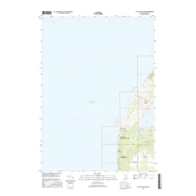
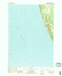
2017 Map of Little Point Sable
USGS Topo · Published 2017About this map
Little Point Sable juts into the vast expanse of Lake Michigan, anchoring a coastal landscape defined by shifting sands and protected timberland. This modern survey illustrates the rugged interface between the lake and the interior, where the Manistee National Forest provides a buffer of wild terrain. The geography is characterized by the prominent shoreline of Silver Lake and the winding course of Silver Cr, which drains toward the coast. A network of recreational and rural routes, such as N Sahara Trl and the Silver Lake State Park - Lake Access Trail, reveals the area's importance for tourism and conservation. Inland, the regular grid of roads like Scenic Dr and W Buchanan Rd outlines the transition from the sandy dunes of the lakefront to the agricultural and wooded sections of Benona Township.
Find a feature on this map
31 named features on this map. Tap any name to fly to it.
Don’t see what you’re looking for? This feature index may not catch every label — zoom into the map to look around manually.
Map Details
Editions of this 2017 Little Point Sable Map
This is the sole edition of this map. No revisions or reprints were ever made.
Other maps of this area

1931 · Hart NW
USGS Topo · 1:31,680

1932 · Ludington SW
USGS Topo · 1:31,680

1954 · Milwaukee
USGS Topo · 1:250,000

1958 · Milwaukee
USGS Topo · 1:250,000

1959 · Ludington
USGS Topo · 1:62,500

1959 · Hart
USGS Topo · 1:62,500
1976 · Hart NW
USGS Topo · 1:24,000
1983 · Mears
USGS Topo · 1:25,000
1983 · Little Point Sable
USGS Topo · 1:25,000
1983 · Bigsbie Lake
USGS Topo · 1:24,000