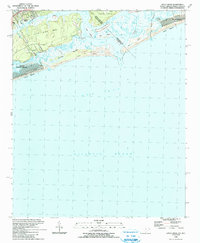
1990 Map of Little River
USGS Topo · Published 1991About this map
Little River sits at the northern edge of the South Carolina coast, where the Intracoastal Waterway meets the state line near Sunset Beach. This 1990 survey captures the coastal geography of the Brunswick and Horry County border before decades of further development, highlighting the complex network of barrier islands and tidal creeks. The map details the transition from the developed finger canals of North Myrtle Beach and Futch Beach to the more primitive barrier environments of Waties Island and Bird Island. Notable features include the shifting passages of Little River Inlet and Mad Inlet, as well as named landmarks like The Battery Island and The Big Narrows. The intricate depiction of Sand Dunes and marshes along Dunn Sound illustrates the dynamic nature of the Carolina shoreline at the close of the 20th century.
Find a feature on this map
31 named features on this map. Tap any name to fly to it.
Don’t see what you’re looking for? This feature index may not catch every label — zoom into the map to look around manually.
Map Details
Editions of this 1990 Little River Map
This is the sole edition of this map. No revisions or reprints were ever made.
Other maps of this area

1943 · Little River
USGS Topo · 1:31,680

1943 · Calabash
USGS Topo · 1:31,680

1943 · Wampee
USGS Topo · 1:24,000

1943 · Shallotte
USGS Topo · 1:24,000

1944 · Longs
USGS Topo · 1:31,680

1944 · Shallotte
USGS Topo · 1:31,680

1949 · Georgetown
USGS Topo · 1:250,000
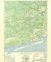
1950 · Shallotte
USGS Topo · 1:25,000
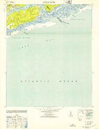
1953 · Little River
USGS Topo · 1:24,000

1953 · Longs
USGS Topo · 1:24,000
Featured Places
- North Myrtle Beach, SC
- Sunset Beach, NC
- Futch Beach, North Myrtle Beach
- Little River, SC
- Horry County, SC