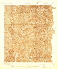
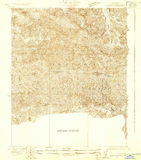
1934 Map of Little Tujunga
USGS Topo · Published 1934About this map
The San Gabriel Mountains dominate this 1930s landscape, where a network of remote ranches and health facilities are carved into the steep canyons. Large-scale institutions like the Fairview Sanatorium and L.A. Sanatorium stand at the southern edge of the survey, reflecting the region's era as a destination for respiratory wellness. Further north, the terrain reveals a more rugged economy of isolated outposts and small-scale extraction, including the Acme Mine and Indicator Mine.
Find a feature on this map
86 named features on this map. Tap any name to fly to it.
Don’t see what you’re looking for? This feature index may not catch every label — zoom into the map to look around manually.
Map Details
Editions of this 1934 Little Tujunga Map
This is the sole edition of this map. No revisions or reprints were ever made.
Other maps of this area

1900 · Fernando
USGS Topo · 1:62,500

1901 · Southern California Sheet No. 1
USGS Topo · 1:250,000

1904 · Southern California Sheet No. 1
USGS Topo · 1:250,000

1925 · Sylmar
USGS Topo · 1:24,000
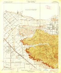
1926 · Sunland
USGS Topo · 1:24,000
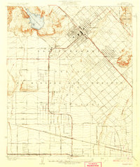
1927 · Pacoima
USGS Topo · 1:24,000
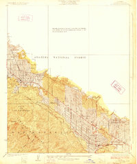
1928 · La Crescenta
USGS Topo · 1:24,000

1928 · Sylmar
USGS Topo · 1:24,000
1929 · Sylmar
USGS Topo · 1:24,000

1929 · Lang
USGS Topo · 1:24,000