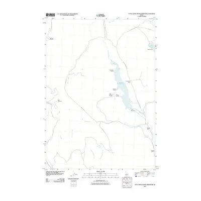
2010 Map of Little Wood River Reservoir
USGS Topo · Published 2010About this map
Little Wood River Reservoir dominates the drainage of this Blaine County landscape, captured by the U.S. Geological Survey in the early 21st century. The map details a high-elevation hydraulic system where the Little Wood River is managed by the Little Wood Dam, while further north, the Campbell Reservoir is held by Campbell Dam. This network of water management is set against a backdrop of complex canyons such as Alberthsen Canyon and Sawmill Canyon.
Find a feature on this map
32 named features on this map. Tap any name to fly to it.
Don’t see what you’re looking for? This feature index may not catch every label — zoom into the map to look around manually.
Map Details
Editions of this 2010 Little Wood River Reservoir Map
This is the sole edition of this map. No revisions or reprints were ever made.
Other maps of this area

1895 · Hailey
USGS Topo · 1:125,000

1897 · Hailey
USGS Topo · 1:125,000

1935 · MacKay
USGS Topo · 1:96,000

1955 · Idaho Falls
USGS Topo · 1:250,000

1955 · Hailey
USGS Topo · 1:250,000

1958 · Idaho Falls
USGS Topo · 1:250,000

1959 · Hailey
USGS Topo · 1:250,000

1960 · Muldoon Canyon
USGS Topo · 1:62,500

1962 · Hailey
USGS Topo · 1:250,000

1967 · Baugh Creek SW
USGS Topo · 1:24,000