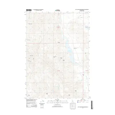
2013 Map of Little Wood River Reservoir
USGS Topo · Published 2013About this map
Little Wood River Reservoir dominates this high-altitude landscape in Blaine County, where the Little Wood River and Muldoon Cr converge. The topography is defined by a series of significant canyons including Crooked Canyon, Sharps Canyon, and Sagehen Canyon, all descending toward the central river valley. For the researcher, the map reveals a network of vital water sources in this arid terrain, such as Last Chance Springs, Chokecherry Spring, and Sunset Spring. Landmarks like Bell Mtn and Muldoon Summit provide critical orientation points among the ridges. Large level areas like Campbell Flats, Burgess Flats, and Jasper Flats indicate the rare flat grazing or staging ground between the steep canyon walls, illustrating the historical land use patterns of this mountain region.
Find a feature on this map
37 named features on this map. Tap any name to fly to it.
Don’t see what you’re looking for? This feature index may not catch every label — zoom into the map to look around manually.
Map Details
Editions of this 2013 Little Wood River Reservoir Map
This is the sole edition of this map. No revisions or reprints were ever made.
Other maps of this area

1895 · Hailey
USGS Topo · 1:125,000

1897 · Hailey
USGS Topo · 1:125,000

1935 · MacKay
USGS Topo · 1:96,000

1955 · Idaho Falls
USGS Topo · 1:250,000

1955 · Hailey
USGS Topo · 1:250,000

1958 · Idaho Falls
USGS Topo · 1:250,000

1959 · Hailey
USGS Topo · 1:250,000

1960 · Muldoon Canyon
USGS Topo · 1:62,500

1962 · Hailey
USGS Topo · 1:250,000

1967 · Baugh Creek SW
USGS Topo · 1:24,000