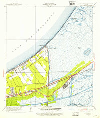
1951 Map of Little Woods
USGS Topo · Published 1953About this map
Lake Pontchartrain defines the northern reaches of this coastal landscape, where the shoreline is marked by the developed community of Little Woods and the recreational site at Lincoln Beach. The transition from the lakefront to the inland wetlands is navigated by a rigid system of drainage canals, including the Little Woods Canal, Jahncke Canal, and Citrus Canal, reflecting the mid-century engineering efforts to manage the low-lying terrain of Orleans Parish. South of the residential strips along Hayne Boulevard, the land gives way to an intricate network of waterways and marshlands.
Find a feature on this map
36 named features on this map. Tap any name to fly to it.
Don’t see what you’re looking for? This feature index may not catch every label — zoom into the map to look around manually.
Map Details
Editions of this 1951 Little Woods Map
2 editions found
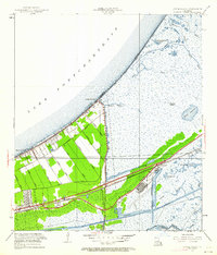
Other maps of this area

1891 · Spanish Fort
USGS Topo · 1:62,500

1891 · New Orleans
USGS Topo · 1:62,500

1892 · Chef Menteur
USGS Topo · 1:62,500

1892 · St. Bernard
USGS Topo · 1:62,500

1932 · New Orleans NE
USGS Topo · 1:31,680

1936 · North Shore
USGS Topo · 1:31,680

1936 · South Point
USGS Topo · 1:31,680

1936 · Chef Menteur
USGS Topo · 1:62,500

1936 · Spanish Fort
USGS Topo · 1:62,500

1937 · Chef Menteur
USGS Topo · 1:31,680
Featured Places
- New Orleans, LA
- Michoud, New Orleans
- Idlewood, New Orleans
- Versailles, New Orleans
- Kingswood, New Orleans