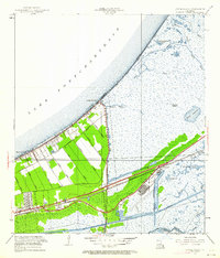
1951 Map of Little Woods
USGS Topo · Published 1962About this map
Lake Pontchartrain defines the northern boundary of this 1951 revision, where the shoreline of Orleans Parish meets a network of drainage canals and coastal lagoons. The map documents the early development of Lincoln Beach and the cluster of settlements at Little Woods and Edge Lake, all positioned along the Hayne Boulevard corridor. These communities are situated on a narrow strip of land between the lake and the vast marshlands to the south, which are punctuated by distinctive water bodies like Rogers Lagoon and Black Bayou Lagoon.
Find a feature on this map
42 named features on this map. Tap any name to fly to it.
Don’t see what you’re looking for? This feature index may not catch every label — zoom into the map to look around manually.
Map Details
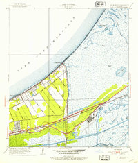
Editions of this 1951 Little Woods Map
2 editions found
Other maps of this area

1891 · Spanish Fort
USGS Topo · 1:62,500

1891 · New Orleans
USGS Topo · 1:62,500

1892 · Chef Menteur
USGS Topo · 1:62,500

1892 · St. Bernard
USGS Topo · 1:62,500

1932 · New Orleans NE
USGS Topo · 1:31,680

1936 · North Shore
USGS Topo · 1:31,680

1936 · South Point
USGS Topo · 1:31,680

1936 · Chef Menteur
USGS Topo · 1:62,500

1936 · Spanish Fort
USGS Topo · 1:62,500

1937 · Chef Menteur
USGS Topo · 1:31,680
Featured Places
- New Orleans, LA
- Michoud, New Orleans
- Idlewood, New Orleans
- Versailles, New Orleans
- Kingswood, New Orleans