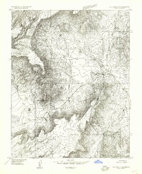
1954 Map of Littlefield 3 NE
USGS Topo · Published 1957About this map
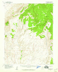
Sand Cove and the surrounding Mohave County terrain dominate this 1954 survey, which reveals a landscape where water sources were the primary landmarks for navigation and survival. Mapping during the mid-1950s documented vital desert hydrology, including Sand Spring and Mud Spring, along with seasonal drainage patterns such as Cottonwood Wash. The map illustrates a complex network of topographical relief, featuring Corral Canyon and various unnamed ridges that define the area's physical character. While largely devoid of permanent settlements, the precise documentation of springs and washes reflects the region's importance to cattle ranching and early land management in the Arizona strip. This preliminary edition, compiled from aerial photography, captures the area before more modernized infrastructure reached this portion of the northern desert.
Find a feature on this map
10 named features on this map. Tap any name to fly to it.
Don’t see what you’re looking for? This feature index may not catch every label — zoom into the map to look around manually.
Map Details
Editions of this 1954 Littlefield 3 NE Map
This is the sole edition of this map. No revisions or reprints were ever made.
Other maps of this area

1886 · Mt. Trumbull
USGS Topo · 1:250,000

1892 · Mt. Trumbull
USGS Topo · 1:250,000

1953 · Grand Canyon
USGS Topo · 1:250,000
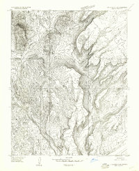
1954 · Littlefield 3 SW
USGS Topo · 1:24,000
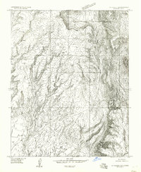
1954 · Littlefield 3 SE
USGS Topo · 1:24,000
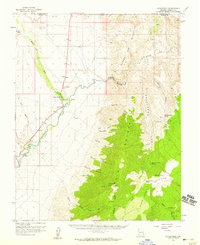
1954 · Littlefield
USGS Topo · 1:62,500
1954 · Cane Springs
USGS Topo · 1:62,500

1957 · Grand Canyon
USGS Topo · 1:250,000

1958 · Grand Canyon
USGS Topo · 1:250,000

1960 · Grand Canyon
USGS Topo · 1:250,000