
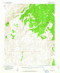
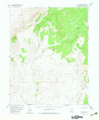
1954 Map of Cane Springs
USGS Topo · Published 1959About this map
Black Rock Mountain and the Virgin Mountains dominate this mid-century desert landscape, where water sources dictated the patterns of survival and industry. Critical water points like Jacobs Well, Cottonwood Spring, and Cove Spring are mapped alongside a network of washes, including Cottonwood Wash and Grand Wash. High-elevation triangulation stations like Tungsten VABM 6465 and Cane Springs VABM 5796 highlight the peak heights of the era's geodetic surveys.
Find a feature on this map
38 named features on this map. Tap any name to fly to it.
Don’t see what you’re looking for? This feature index may not catch every label — zoom into the map to look around manually.
Map Details
Editions of this 1954 Cane Springs Map
3 editions found
Other maps of this area

1886 · Saint Thomas
USGS Topo · 1:250,000

1886 · Mt. Trumbull
USGS Topo · 1:250,000

1892 · Mt. Trumbull
USGS Topo · 1:250,000

1893 · Saint Thomas
USGS Topo · 1:250,000

1926 · Bonelli
USGS Topo · 1:96,000

1953 · Gold Butte
USGS Topo · 1:62,500

1953 · Grand Canyon
USGS Topo · 1:250,000

1954 · Las Vegas
USGS Topo · 1:250,000

1954 · Littlefield 3 SW
USGS Topo · 1:24,000

1954 · Littlefield 3 NE
USGS Topo · 1:24,000