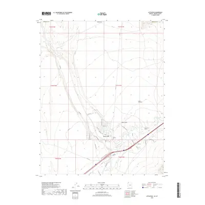
2018 Map of Littlefield
USGS Topo · Published 2018About this map
The Virgin River carves a deep path through the Mojave Desert in this corner of northwest Arizona, defining the settlement patterns and transportation corridors of the region. The community of Beaver Dam serves as a primary local hub, where the residential street grid connects to Hwy 91 and the Littlefield Interchange. This landscape transition is marked by geological features like Figure Four Canyon and the Castle Cliff Wash, which feed into the main river valley. For those researching local heritage, the map identifies the Beaver Dam Cem and the Littlefield Cem, alongside several family and ranch-related landmarks such as Cedarburg Ranch Rd. The network of local roads including Pioneer Rd and N Nogales Ave illustrates the modern development footprint surrounding the older river-bound settlements.
Find a feature on this map
42 named features on this map. Tap any name to fly to it.
Don’t see what you’re looking for? This feature index may not catch every label — zoom into the map to look around manually.
Map Details
Editions of this 2018 Littlefield Map
This is the sole edition of this map. No revisions or reprints were ever made.
Other maps of this area

1885 · St. George
USGS Topo · 1:250,000

1885 · Pioche
USGS Topo · 1:250,000

1886 · Saint Thomas
USGS Topo · 1:250,000

1886 · Mt. Trumbull
USGS Topo · 1:250,000

1886 · Pioche
USGS Topo · 1:250,000

1891 · St. George
USGS Topo · 1:250,000

1892 · Mt. Trumbull
USGS Topo · 1:250,000

1893 · Saint Thomas
USGS Topo · 1:250,000

1953 · Cedar City
USGS Topo · 1:250,000

1953 · Grand Canyon
USGS Topo · 1:250,000