Loading...
Loading map...2021 Map of Littlefield
USGS Topo · Published 2021About this map
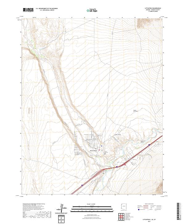
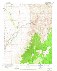
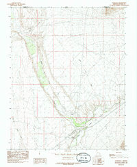
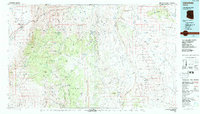
The Virgin River carves a green corridor through the arid reaches of the Mojave Desert in this northwest corner of Arizona. The settlement of Beaver Dam serves as the primary hub of human activity, situated at the edge of the lush Virgin Valley. The landscape is a complex network of canyons and washes, including the prominent Figure Four Canyon and Castle Cliff Wash, which define the drainage patterns of the region.
Find a feature on this map
40 named features on this map. Tap any name to fly to it.
Don’t see what you’re looking for? This feature index may not catch every label — zoom into the map to look around manually.
Map Details
Date Portrayed2021
Date Published2021
PublisherU.S. Geological Survey
Map TypeTopographic
Scale1:24000
Physical Dimensions24 x 29 inches
Editions of this 2021 Littlefield Map
This is the sole edition of this map. No revisions or reprints were ever made.
Historical Maps of Littlefield Through Time
4 maps found
Featured Locations
Source Details
SourceU.S. Geological Survey
CopyrightPublic Domain