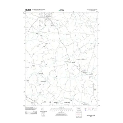
2011 Map of Littlestown
USGS Topo · Published 2011About this map
Littlestown sits at the northern edge of this landscape, where the rolling hills of Adams County meet the Maryland border. The area is defined by a dense network of country roads and waterways, most notably Big Pipe Creek and Silver Run. A strong mill-based economy is evident through the naming of several local hubs, including Menges Mill, Hahns Mill, and Arters Mill, suggesting a legacy of local agricultural processing.
Find a feature on this map
142 named features on this map. Tap any name to fly to it.
Don’t see what you’re looking for? This feature index may not catch every label — zoom into the map to look around manually.
Map Details
Editions of this 2011 Littlestown Map
This is the sole edition of this map. No revisions or reprints were ever made.
Other maps of this area

1905 · Westminster
USGS Topo · 1:62,500

1908 · Gettysburg
USGS Topo · 1:62,500

1911 · Taneytown
USGS Topo · 1:62,500

1920 · Hanover
USGS Topo · 1:62,500

1922 · Hanover
USGS Topo · 1:62,500

1942 · Gettysburg
USGS Topo · 1:125,000

1944 · Manchester
USGS Topo · 1:31,680

1944 · Union Bridge
USGS Topo · 1:31,680

1944 · Gettysburg
USGS Topo · 1:31,680

1944 · New Windsor
USGS Topo · 1:31,680