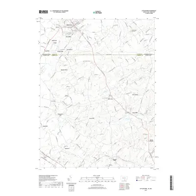
2019 Map of Littlestown
USGS Topo · Published 2019About this map
The Mason-Dixon Line divides this landscape along the Adams Co Carroll Co border, where the rural character of the Pennsylvania-Maryland state line is preserved through centuries of agricultural use. The historic borough of Littlestown anchors the northern portion, serving as a hub for local routes like Baltimore Pike and Gettysburg Rd. The terrain is defined by a dense network of mills and cemeteries that reflect the early German and Scots-Irish settlement patterns of the region.
Find a feature on this map
156 named features on this map. Tap any name to fly to it.
Don’t see what you’re looking for? This feature index may not catch every label — zoom into the map to look around manually.
Map Details
Editions of this 2019 Littlestown Map
This is the sole edition of this map. No revisions or reprints were ever made.
Other maps of this area

1905 · Westminster
USGS Topo · 1:62,500

1908 · Gettysburg
USGS Topo · 1:62,500

1911 · Taneytown
USGS Topo · 1:62,500

1920 · Hanover
USGS Topo · 1:62,500

1922 · Hanover
USGS Topo · 1:62,500

1942 · Gettysburg
USGS Topo · 1:125,000

1944 · Manchester
USGS Topo · 1:31,680

1944 · Union Bridge
USGS Topo · 1:31,680

1944 · Gettysburg
USGS Topo · 1:31,680

1944 · New Windsor
USGS Topo · 1:31,680