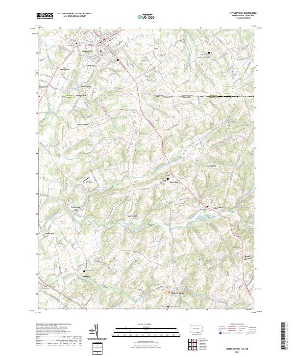
2023 Map of Littlestown
USGS Topo · Published 2023About this map
Littlestown serves as the focal point of this Pennsylvania-Maryland borderland, where the Mason Dixon Rd marks the historic boundary between Adams Co and Carroll Co. The settlement pattern reflects a long-standing rural economy centered on water-powered industry and community faith, evidenced by the numerous mill sites and denominational burial grounds spanning both states. From Pipe Creek Mill near Wolfs Mill to the clustered homes at Union Mills, the landscape is defined by the drainage of Big Pipe Creek and Silver Run. This contemporary survey also highlights more modern additions to the agricultural landscape, such as the Mayberry Run Airport and Makoutz Airport. Genealogists will find significant value in the documentation of numerous local cemeteries, including the Barts - Centenary United Methodist Church Cem and Saint Marys Lutheran Church Cem, which anchor the small crossroads hamlets of the region.
Find a feature on this map
147 named features on this map. Tap any name to fly to it.
Don’t see what you’re looking for? This feature index may not catch every label — zoom into the map to look around manually.
Map Details
Editions of this 2023 Littlestown Map
This is the sole edition of this map. No revisions or reprints were ever made.
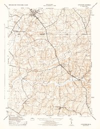
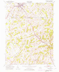
Historical Maps of Allandale Through Time
3 maps found