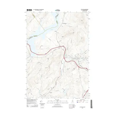
2015 Map of Littleton
USGS Topo · Published 2015About this map
Littleton serves as the hub of this Grafton County landscape, where the Ammonoosuc River and the industrial-era path of the Ammonoosuc Rail Trl converge. The terrain is defined by a series of prominent rises including Walker Mtn, Farr Hill, and Towns Mtn, while the massive Moore Reservoir dominates the northwestern corner along the Vermont state line. Genealogy interests are well-served by numerous burial grounds such as Glenwood Cem and the North Littleton Cem, documenting the long-standing families of the upper Connecticut River valley.
Find a feature on this map
105 named features on this map. Tap any name to fly to it.
Don’t see what you’re looking for? This feature index may not catch every label — zoom into the map to look around manually.
Map Details
Editions of this 2015 Littleton Map
This is the sole edition of this map. No revisions or reprints were ever made.
Other maps of this area

1900 · Whitefield
USGS Topo · 1:62,500

1929 · Moosilauke
USGS Topo · 1:62,500

1929 · Franconia
USGS Topo · 1:62,500

1931 · Littleton
USGS Topo · 1:62,500

1932 · Franconia
USGS Topo · 1:62,500

1932 · Littleton
USGS Topo · 1:48,000

1932 · Moosilauke
USGS Topo · 1:62,500

1935 · Littleton
USGS Topo · 1:62,500

1935 · Whitefield
USGS Topo · 1:48,000

1938 · Whitefield
USGS Topo · 1:62,500