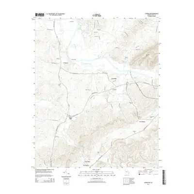
2014 Map of Livingston
USGS Topo · Published 2014About this map
The Coosa River winds through this Northwest Georgia landscape, defining the character of several small communities and bends including Camp Bend and Turner Bend. The settlement of Livingston serves as a central point, surrounded by family landmarks and historical resting places such as Livingston Cem and the Matthew Cem. Further south, the map documents the rural connection between Foster Mills and Vans Valley, where agricultural land meets the rising topography of Horseleg Mtn.
Find a feature on this map
72 named features on this map. Tap any name to fly to it.
Don’t see what you’re looking for? This feature index may not catch every label — zoom into the map to look around manually.
Map Details
Editions of this 2014 Livingston Map
This is the sole edition of this map. No revisions or reprints were ever made.
Other maps of this area

1886 · Rome
USGS Topo · 1:125,000

1898 · Rome
USGS Topo · 1:125,000

1899 · Rome
USGS Topo · 1:125,000

1904 · Rome
USGS Topo · 1:125,000

1955 · Rome
USGS Topo · 1:250,000

1958 · Rome
USGS Topo · 1:250,000

1961 · Rome
USGS Topo · 1:250,000

1963 · Rome
USGS Topo · 1:250,000
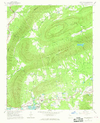
1967 · Rock Mountain
USGS Topo · 1:24,000
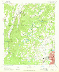
1967 · Cedartown West
USGS Topo · 1:24,000