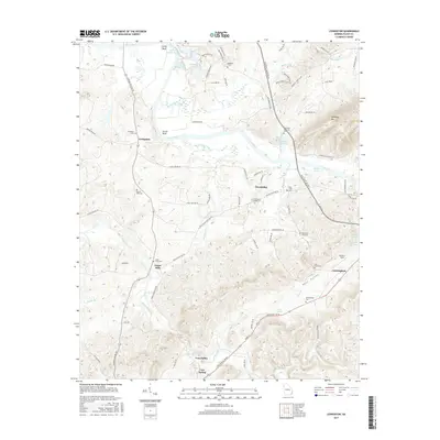
2017 Map of Livingston
USGS Topo · Published 2017About this map
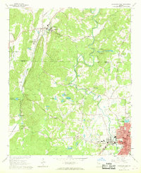
The Coosa River meanders through the heart of Floyd County, Georgia, defining a landscape of river bends and fertile valleys. Near Turner Bend, the water winds past industrial sites like the Kraft Industrial Waste Pond and the small settlement of Livingston. The terrain transitions from the river lowlands to the prominent rise of Horseleg Mtn in the east, while the southern portion of the map is dominated by the broad expanse of Vans Valley.
Find a feature on this map
83 named features on this map. Tap any name to fly to it.
Don’t see what you’re looking for? This feature index may not catch every label — zoom into the map to look around manually.
Map Details
Editions of this 2017 Livingston Map
This is the sole edition of this map. No revisions or reprints were ever made.
Other maps of this area

1886 · Rome
USGS Topo · 1:125,000
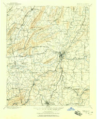
1898 · Rome
USGS Topo · 1:125,000
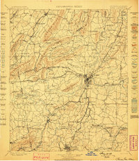
1899 · Rome
USGS Topo · 1:125,000
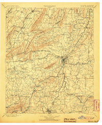
1904 · Rome
USGS Topo · 1:125,000

1955 · Rome
USGS Topo · 1:250,000
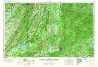
1958 · Rome
USGS Topo · 1:250,000
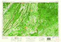
1961 · Rome
USGS Topo · 1:250,000
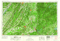
1963 · Rome
USGS Topo · 1:250,000
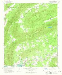
1967 · Rock Mountain
USGS Topo · 1:24,000
1967 · Cedartown West
USGS Topo · 1:24,000