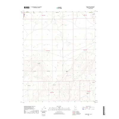
2018 Map of Lizard Point
USGS Topo · Published 2018About this map
Lizard Point rises as a prominent landmark in this corner of the Mojave Desert, where the high plateaus of Arizona and Utah meet. The landscape is defined by its arid drainages, most notably Mokaac Wash and Atkinville Wash, which channel water toward the southern reaches of the St. George region. Human interaction with this dry environment is evidenced by the strategic placement of State Line Reservoir and Mokaac Reservoir, alongside natural water sources like Lizard Spring and Mokaac Spring. These features suggest a history of ranching and livestock management in a territory dominated by significant topographical forms such as Mokaac Mtn and Little Black Mtn. The presence of Co HWY 5 provides the primary transit corridor through Big Valley, connecting the remote desert flats to more established routes.
Find a feature on this map
25 named features on this map. Tap any name to fly to it.
Don’t see what you’re looking for? This feature index may not catch every label — zoom into the map to look around manually.
Map Details
Editions of this 2018 Lizard Point Map
This is the sole edition of this map. No revisions or reprints were ever made.
Other maps of this area

1885 · St. George
USGS Topo · 1:250,000

1886 · Mt. Trumbull
USGS Topo · 1:250,000

1891 · St. George
USGS Topo · 1:250,000

1892 · Mt. Trumbull
USGS Topo · 1:250,000

1953 · Cedar City
USGS Topo · 1:250,000

1953 · Grand Canyon
USGS Topo · 1:250,000

1954 · Hurricane Cliffs 2 NW
USGS Topo · 1:24,000

1954 · Wolf Hole Mtn. NW
USGS Topo · 1:24,000

1954 · La Verkin 3 SW
USGS Topo · 1:24,000

1954 · Wolf Hole Mtn. NE
USGS Topo · 1:24,000