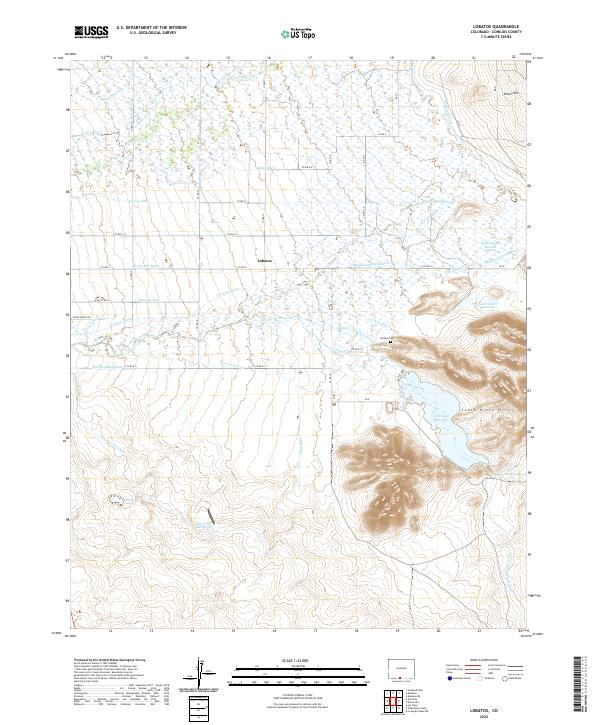
2022 Map of Lobatos
USGS Topo · Published 2022About this map
Lobatos serves as the focal point of this San Luis Valley landscape, where an intricate web of irrigation infrastructure defines the high-desert agriculture of southern Colorado. The map reveals an extensive system of man-made waterways, including the Heads Mill Ditch, Antonio Ditch, and Fuertecitos Ditch, which draw from the Conejos River and Rio San Antonio to sustain the local ranching economy. This complex network of surface water management is essential for life between the Piñon Hills and the South Pinon Hills.
Find a feature on this map
57 named features on this map. Tap any name to fly to it.
Don’t see what you’re looking for? This feature index may not catch every label — zoom into the map to look around manually.
Map Details
Editions of this 2022 Lobatos Map
This is the sole edition of this map. No revisions or reprints were ever made.
Other maps of this area

1918 · Tusas
USGS Topo · 1:125,000

1922 · Conejos
USGS Topo · 1:125,000

1945 · Durango
USGS Topo · 1:250,000

1953 · Durango
USGS Topo · 1:250,000

1954 · Durango
USGS Topo · 1:250,000

1954 · Raton
USGS Topo · 1:250,000

1954 · Trinidad
USGS Topo · 1:250,000

1954 · Aztec
USGS Topo · 1:250,000

1955 · Trinidad
USGS Topo · 1:250,000

1958 · Raton
USGS Topo · 1:250,000