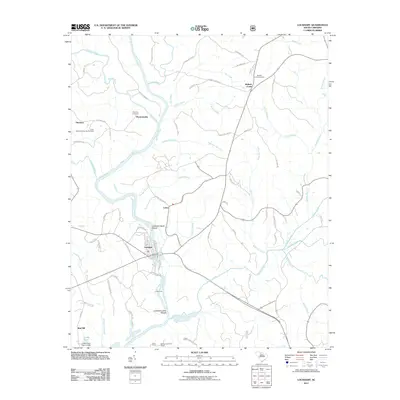
2011 Map of Lockhart
USGS Topo · Published 2011About this map
The Broad River flows south through this Union County landscape, joined by the Pacolet River near the historic settlement of Pinckneyville. This area is defined by its riverine geography, where the water's descent is marked by Lockharts Upper Shoals and Lockhart Lower Shoals near the town of Lockhart. For genealogists and local historians, several family and community landmarks are preserved on the sheet, including the Pinckney Cemetery, Bullock Creek Cemetery, and the Giles-Pinckneyville Cemetery.
Find a feature on this map
75 named features on this map. Tap any name to fly to it.
Don’t see what you’re looking for? This feature index may not catch every label — zoom into the map to look around manually.
Map Details
Editions of this 2011 Lockhart Map
This is the sole edition of this map. No revisions or reprints were ever made.
Other maps of this area

1907 · Sharon
USGS Topo · 1:62,500

1941 · Spartanburg
USGS Topo · 1:250,000

1953 · Spartanburg
USGS Topo · 1:250,000

1960 · Spartanburg
USGS Topo · 1:250,000

1963 · Spartanburg
USGS Topo · 1:250,000

1964 · Spartanburg
USGS Topo · 1:250,000
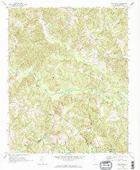
1968 · Wilkinsville
USGS Topo · 1:24,000

1969 · Kelton
USGS Topo · 1:24,000

1969 · Baton Rouge
USGS Topo · 1:24,000
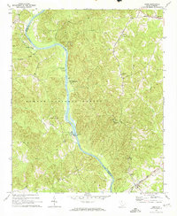
1969 · Leeds
USGS Topo · 1:24,000