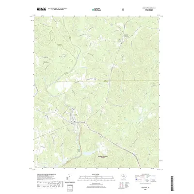
2020 Map of Lockhart
USGS Topo · Published 2020About this map
Lockhart sits at the heart of this landscape, positioned along the banks of the Broad River near its confluence with the Pacolet River. The town's historic ties to the water are evident in the presence of Lockharts Upper Shoals and Lockhart Lower Shoals, features that once dictated the movement of goods and people along these waterways. Further north, the settlement of Bullock Creek serves as another focal point, anchored by the Bullock Creek Presbyterian Church Graveyard, a significant site for local genealogical research.
Find a feature on this map
79 named features on this map. Tap any name to fly to it.
Don’t see what you’re looking for? This feature index may not catch every label — zoom into the map to look around manually.
Map Details
Editions of this 2020 Lockhart Map
This is the sole edition of this map. No revisions or reprints were ever made.
Other maps of this area

1907 · Sharon
USGS Topo · 1:62,500

1941 · Spartanburg
USGS Topo · 1:250,000

1953 · Spartanburg
USGS Topo · 1:250,000

1960 · Spartanburg
USGS Topo · 1:250,000

1963 · Spartanburg
USGS Topo · 1:250,000

1964 · Spartanburg
USGS Topo · 1:250,000
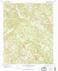
1968 · Wilkinsville
USGS Topo · 1:24,000

1969 · Kelton
USGS Topo · 1:24,000

1969 · Baton Rouge
USGS Topo · 1:24,000
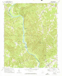
1969 · Leeds
USGS Topo · 1:24,000