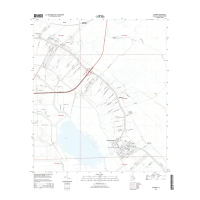
2015 Map of Lockport
USGS Topo · Published 2015About this map
Bayou Lafourche serves as the primary artery for settlement through this section of Lafourche Parish, dictating the linear development of communities like Lockport and Mathews. This 2015 survey reveals the intricate network of water and infrastructure that defines the region, including the Lockport Company Canal Bridge and the Lockport Bayou Lafourche Bridge. The landscape is a complex weave of natural bayous and engineered waterways, such as the Godchaux Canal and Bayou Cut-Off, which navigate the low-lying terrain surrounding Lake Fields.
Find a feature on this map
148 named features on this map. Tap any name to fly to it.
Don’t see what you’re looking for? This feature index may not catch every label — zoom into the map to look around manually.
Map Details
Editions of this 2015 Lockport Map
This is the sole edition of this map. No revisions or reprints were ever made.
Other maps of this area

1891 · Hahnville
USGS Topo · 1:62,500

1892 · Lac Des Allemands
USGS Topo · 1:62,500

1892 · Cut-Off
USGS Topo · 1:62,500

1892 · Houma
USGS Topo · 1:62,500

1932 · Houma SE
USGS Topo · 1:31,680

1932 · Lac Des Allemands SE
USGS Topo · 1:31,680

1932 · Lac Des Allemands SW
USGS Topo · 1:31,680

1932 · Houma SW
USGS Topo · 1:31,680

1932 · Houma NE
USGS Topo · 1:31,680

1932 · Houma NW
USGS Topo · 1:31,680