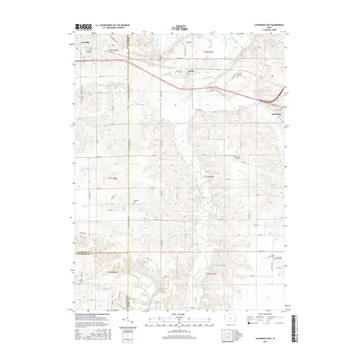
2015 Map of Lockridge East
USGS Topo · Published 2015About this map
Lockridge and Rome anchor the northern edge of this southeastern Iowa landscape where the Skunk River meanders across the Henry County line. This survey details a rural region defined by a dense network of family and community burial sites, providing a significant resource for genealogical research. Notable locations include the uniquely named Cholera Hill Cem near the riverbanks and the Morman Graves situated just west of Rome. Further south, the terrain transitions into the drainage of Cedar Creek, where more remote sites like the Cedar Creek Friends Cem and Hickory Cem are found. The map also documents local infrastructure such as the R S Auto Airport and the settlement of Westwood, illustrating the modern layout of these historic townships across the borders of Jefferson and Van Buren counties.
Find a feature on this map
73 named features on this map. Tap any name to fly to it.
Don’t see what you’re looking for? This feature index may not catch every label — zoom into the map to look around manually.
Map Details
Editions of this 2015 Lockridge East Map
This is the sole edition of this map. No revisions or reprints were ever made.
Other maps of this area

1958 · Burlington
USGS Topo · 1:250,000

1958 · Davenport
USGS Topo · 1:250,000

1961 · Burlington
USGS Topo · 1:250,000

1961 · Davenport
USGS Topo · 1:250,000

1962 · Davenport
USGS Topo · 1:250,000

1963 · Burlington
USGS Topo · 1:250,000

1980 · Lockridge West
USGS Topo · 1:24,000

1980 · Trenton
USGS Topo · 1:24,000
1980 · Salina
USGS Topo · 1:24,000

1980 · Lockridge East
USGS Topo · 1:24,000