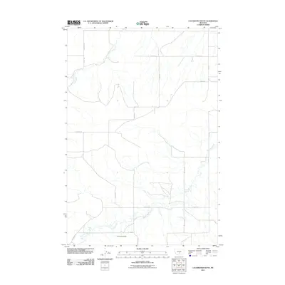
2011 Map of Locomotive Butte
USGS Topo · Published 2011About this map
Locomotive Butte serves as a prominent landmark in this drainage-carved landscape of Stillwater County, Montana. The map documents a rural ranching and agricultural region defined by the winding course of Big Coulee Creek and Rock Creek. This 2011 survey captures the network of gravel and ranch roads that provide access across the rolling plains, including Big Coulee Rd and Hines Ranch Rd. The layout of roads like N Patte Rd and Ramage Rd follows the township and range survey lines, illustrating how public land systems shaped the settlement patterns of this Montana interior. Small tributaries and unnamed coulees branch off the primary waterways, creating a complex topographic profile typical of the region's high plains geography.
Find a feature on this map
11 named features on this map. Tap any name to fly to it.
Don’t see what you’re looking for? This feature index may not catch every label — zoom into the map to look around manually.
Map Details
Editions of this 2011 Locomotive Butte Map
This is the sole edition of this map. No revisions or reprints were ever made.
Other maps of this area

1889 · Big Snowy Mountain
USGS Topo · 1:250,000

1893 · Big Snowy Mountain
USGS Topo · 1:250,000

1954 · Roundup
USGS Topo · 1:250,000

1958 · Roundup
USGS Topo · 1:250,000
1985 · Hailstone Basin
USGS Topo · 1:24,000
1985 · Locomotive Butte
USGS Topo · 1:24,000
1985 · Locomotive Butte SW
USGS Topo · 1:24,000
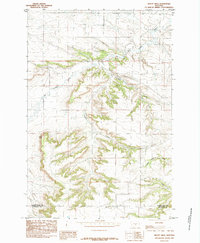
1985 · Mount Sinai
USGS Topo · 1:24,000
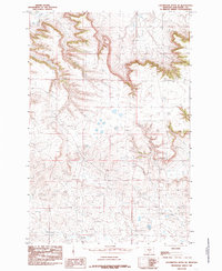
1985 · Locomotive Butte SE
USGS Topo · 1:24,000
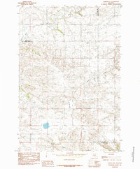
1985 · O'Brien Hill
USGS Topo · 1:24,000