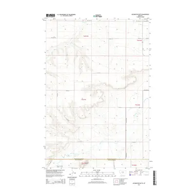
2014 Map of Locomotive Butte
USGS Topo · Published 2014About this map
Big Coulee Cr and Rock Cr carve through the high plains of the Golden Valley and Stillwater County border, defining a landscape marked by wide coulees and remote ranching operations. The terrain is structured by a network of rural roads that often follow these natural drainages, including Big Coulee Rd and Rock Creek Rd. The namesake Locomotive Butte stands as a prominent landmark in the southern portion of the quadrangle, while the Three Cross Ranch Airport provides a rare point of modern infrastructure in this sparsely populated region.
Find a feature on this map
20 named features on this map. Tap any name to fly to it.
Don’t see what you’re looking for? This feature index may not catch every label — zoom into the map to look around manually.
Map Details
Editions of this 2014 Locomotive Butte Map
This is the sole edition of this map. No revisions or reprints were ever made.
Other maps of this area

1889 · Big Snowy Mountain
USGS Topo · 1:250,000

1893 · Big Snowy Mountain
USGS Topo · 1:250,000

1954 · Roundup
USGS Topo · 1:250,000

1958 · Roundup
USGS Topo · 1:250,000
1985 · Hailstone Basin
USGS Topo · 1:24,000
1985 · Locomotive Butte
USGS Topo · 1:24,000
1985 · Locomotive Butte SW
USGS Topo · 1:24,000
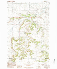
1985 · Mount Sinai
USGS Topo · 1:24,000
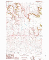
1985 · Locomotive Butte SE
USGS Topo · 1:24,000
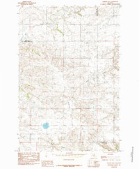
1985 · O'Brien Hill
USGS Topo · 1:24,000