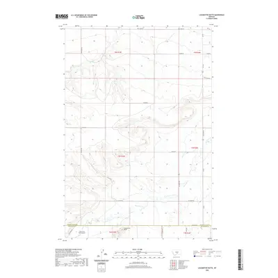
2020 Map of Locomotive Butte
USGS Topo · Published 2020About this map
Locomotive Butte dominates this high-plains landscape, where the boundary between Golden Valley and Stillwater counties cuts through a series of dramatic coulees and creek beds. The terrain is defined by the drainage systems of Big Coulee Creek and Rock Creek, which have carved deep valleys into the surrounding plateaus. Human activity in this rural ranching country is centered around a network of gravel routes and private access ways, including Big Coulee Road and Ramage Road. Of particular interest to aviation and local history is the Three Cross Ranch Airport, located in the southwest corner near Hines Ranch Road. This map provides a look at the modern land use and remote infrastructure in the northern reaches of the county during the early 21st century.
Find a feature on this map
21 named features on this map. Tap any name to fly to it.
Don’t see what you’re looking for? This feature index may not catch every label — zoom into the map to look around manually.
Map Details
Editions of this 2020 Locomotive Butte Map
This is the sole edition of this map. No revisions or reprints were ever made.
Other maps of this area

1889 · Big Snowy Mountain
USGS Topo · 1:250,000

1893 · Big Snowy Mountain
USGS Topo · 1:250,000

1954 · Roundup
USGS Topo · 1:250,000

1958 · Roundup
USGS Topo · 1:250,000
1985 · Hailstone Basin
USGS Topo · 1:24,000
1985 · Locomotive Butte
USGS Topo · 1:24,000
1985 · Locomotive Butte SW
USGS Topo · 1:24,000
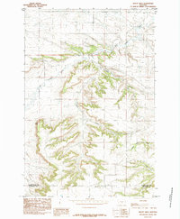
1985 · Mount Sinai
USGS Topo · 1:24,000
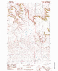
1985 · Locomotive Butte SE
USGS Topo · 1:24,000
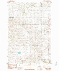
1985 · O'Brien Hill
USGS Topo · 1:24,000