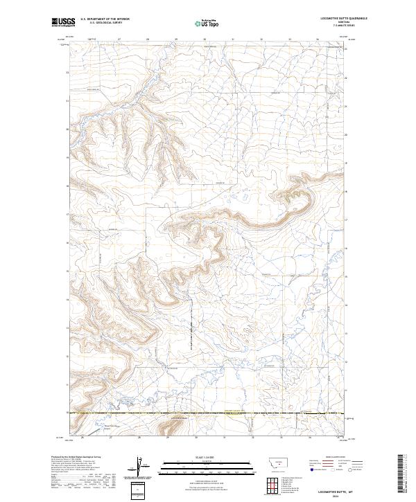
2024 Map of Locomotive Butte
USGS Topo · Published 2024About this map
Locomotive Butte dominates the central terrain of this high plains landscape, situated near the border of Golden Valley and Stillwater counties. The area is characterized by the winding drainage of Big Coulee Creek and Rock Creek, which cut through the plateau along a network of remote ranch roads. Human presence is defined by long-established cattle and agricultural operations, evidenced by labels such as Hines Ranch Rd and the Three Cross Ranch Airport. The mapping reveals a sparse settlement pattern where large-scale ranching dictates the layout of the land, with thoroughfares like Ramage Rd and Sullivan Rd connecting isolated homesteads across the townships. This 2024 edition preserves the modern land-use boundaries and survey lines that have organized this section of Montana for generations.
Find a feature on this map
25 named features on this map. Tap any name to fly to it.
Don’t see what you’re looking for? This feature index may not catch every label — zoom into the map to look around manually.
Map Details
Editions of this 2024 Locomotive Butte Map
This is the sole edition of this map. No revisions or reprints were ever made.
Other maps of this area

1889 · Big Snowy Mountain
USGS Topo · 1:250,000

1893 · Big Snowy Mountain
USGS Topo · 1:250,000

1954 · Roundup
USGS Topo · 1:250,000

1958 · Roundup
USGS Topo · 1:250,000
1985 · Hailstone Basin
USGS Topo · 1:24,000
1985 · Locomotive Butte
USGS Topo · 1:24,000
1985 · Locomotive Butte SW
USGS Topo · 1:24,000
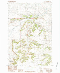
1985 · Mount Sinai
USGS Topo · 1:24,000
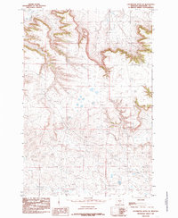
1985 · Locomotive Butte SE
USGS Topo · 1:24,000
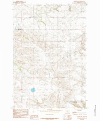
1985 · O'Brien Hill
USGS Topo · 1:24,000