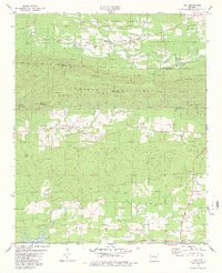
1979 Map of Lodi
USGS Topo · Published 1980About this map
The Cossatot Mountains define the northern landscape of this Pike and Montgomery County region, where the Ouachita National Forest blankets high ridges like Buck Mtn and Tweedle Mtn. In the valleys between these peaks, small rural communities like Hopper and Lodi are established along the winding South Fork Caddo River. The map captures the spiritual and social foundations of these settlements through landmarks such as the Free Will Baptist Ch and Baptist Ch, alongside several family and community burial sites including Hopper Cem and Coffman Cem.
Find a feature on this map
34 named features on this map. Tap any name to fly to it.
Don’t see what you’re looking for? This feature index may not catch every label — zoom into the map to look around manually.
Map Details
Editions of this 1979 Lodi Map
2 editions found
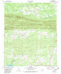
Other maps of this area

1906 · Caddo Gap
USGS Topo · 1:125,000

1936 · Athens
USGS Topo · 1:48,000

1936 · Glenwood
USGS Topo · 1:48,000

1942 · Glenwood
USGS Topo · 1:62,500

1942 · Athens
USGS Topo · 1:62,500

1949 · Glenwood
USGS Topo · 1:62,500

1955 · Little Rock
USGS Topo · 1:250,000

1956 · Little Rock
USGS Topo · 1:250,000

1960 · Little Rock
USGS Topo · 1:250,000

1964 · Little Rock
USGS Topo · 1:250,000