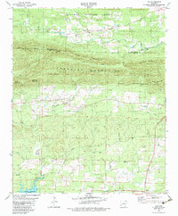
1979 Map of Lodi
USGS Topo · Published 1983About this map
Kirby sits at the southern edge of this West Central Arkansas landscape, serving as a gateway to the complex hydrology and topography between the Cossatot Mountains and the waters of Lake Greeson. The map documents a rural network of small settlements like Lodi and Hopper, connected by the Forrester Road. Genealogists will find several burial grounds mapped here, including Palestine Cemetery and Hopper Cemetery, alongside local spiritual centers such as the Free Will Baptist Church. The terrain is defined by dramatic peaks like Tweedle Mountain and Reynolds Mountain, which shelter the headwaters of the Antoine River and Little Bear Creek. This 1970s survey captures the area before modern development, showing a land still deeply tied to its mountain ridges and river forks.
Find a feature on this map
36 named features on this map. Tap any name to fly to it.
Don’t see what you’re looking for? This feature index may not catch every label — zoom into the map to look around manually.
Map Details
Editions of this 1979 Lodi Map
2 editions found
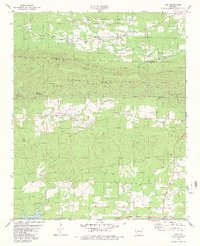
Other maps of this area

1906 · Caddo Gap
USGS Topo · 1:125,000

1936 · Athens
USGS Topo · 1:48,000

1936 · Glenwood
USGS Topo · 1:48,000

1942 · Glenwood
USGS Topo · 1:62,500

1942 · Athens
USGS Topo · 1:62,500

1949 · Glenwood
USGS Topo · 1:62,500

1955 · Little Rock
USGS Topo · 1:250,000

1956 · Little Rock
USGS Topo · 1:250,000

1960 · Little Rock
USGS Topo · 1:250,000

1964 · Little Rock
USGS Topo · 1:250,000