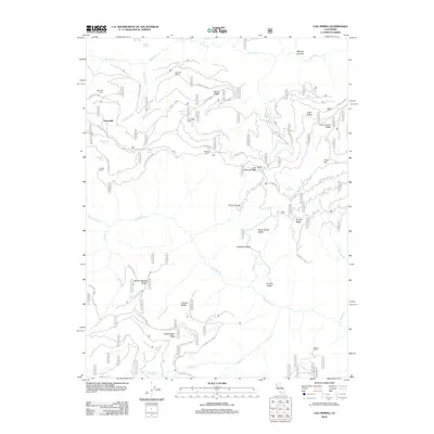
2012 Map of Log Spring
USGS Topo · Published 2012About this map
Sunnyside and several remote outposts define this high-country landscape in the Mendocino National Forest. The area is marked by a network of seasonal camps and cabins, including Side Rod Camp, Saturday Camp, and Dead Mule Camp, reflecting a history of timber management and forest navigation. These sites are linked by Forest Service routes like Forest Rte M4 and Round Valley Rd, which traverse a series of high ridges and glades.
Find a feature on this map
53 named features on this map. Tap any name to fly to it.
Don’t see what you’re looking for? This feature index may not catch every label — zoom into the map to look around manually.
Map Details
Editions of this 2012 Log Spring Map
This is the sole edition of this map. No revisions or reprints were ever made.
Other maps of this area

1919 · Elk Creek
USGS Topo · 1:62,500

1948 · Elk Creek
USGS Topo · 1:62,500

1952 · Paskenta
USGS Topo · 1:62,500

1952 · Hull Mountain
USGS Topo · 1:62,500

1952 · Anthony Peak
USGS Topo · 1:62,500

1957 · Elk Creek
USGS Topo · 1:62,500

1957 · Ukiah
USGS Topo · 1:250,000

1960 · Ukiah
USGS Topo · 1:250,000

1967 · Plaskett Ridge
USGS Topo · 1:24,000
1967 · Plaskett meadows
USGS Topo · 1:24,000