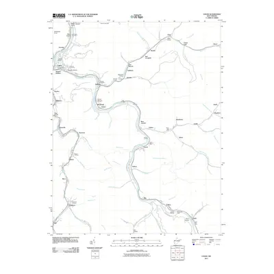
2011 Map of Logan
USGS Topo · Published 2011About this map
The Guyandotte River winds through the heart of this Appalachian coal country, where narrow valleys have dictated a string of tightly knit communities along its banks and the neighboring Island Creek. The city of Logan serves as a central hub, flanked by the Buskirk Addition and the nearby Aracoma settlement. This landscape is defined by its industrial and residential proximity, where roads like Hatcher Mine Rd and Taplin Hollow Rd provide access to the steep hollows. Local history is preserved in numerous family and community burial grounds, including the Old City Cemetery and the George F Browning Cemetery. The geography reveals a complex network of named water branches, such as Varney Branch and Dingess Run, which have historically shaped the development of settlements like Peach Creek and McConnell.
Find a feature on this map
104 named features on this map. Tap any name to fly to it.
Don’t see what you’re looking for? This feature index may not catch every label — zoom into the map to look around manually.
Map Details
Editions of this 2011 Logan Map
This is the sole edition of this map. No revisions or reprints were ever made.
Other maps of this area

1887 · Warfield
USGS Topo · 1:125,000

1891 · Oceana
USGS Topo · 1:125,000

1891 · Warfield
USGS Topo · 1:125,000

1893 · Oceana
USGS Topo · 1:125,000

1898 · Oceana
USGS Topo · 1:125,000

1909 · Matewan
USGS Topo · 1:48,000

1909 · Gilbert
USGS Topo · 1:48,000

1910 · Holden
USGS Topo · 1:48,000

1912 · Gilbert
USGS Topo · 1:62,500

1912 · Holden
USGS Topo · 1:62,500