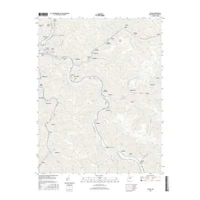
2016 Map of Logan
USGS Topo · Published 2016About this map
Hatfield Island and the winding Guyandotte River define the core of this West Virginia coal country landscape. The settlement of Logan serves as a central hub, connected to neighboring Aracoma and Stollings by numerous crossings including the Midelburg Bridge and the JT Fish Memorial Bridge. The map details a dense network of hollows and ridges, where communities like Monaville, Rossmore, and Switzer follow the narrow valley floors along Island Creek.
Find a feature on this map
106 named features on this map. Tap any name to fly to it.
Don’t see what you’re looking for? This feature index may not catch every label — zoom into the map to look around manually.
Map Details
Editions of this 2016 Logan Map
This is the sole edition of this map. No revisions or reprints were ever made.
Other maps of this area

1887 · Warfield
USGS Topo · 1:125,000

1891 · Oceana
USGS Topo · 1:125,000

1891 · Warfield
USGS Topo · 1:125,000

1893 · Oceana
USGS Topo · 1:125,000

1898 · Oceana
USGS Topo · 1:125,000

1909 · Matewan
USGS Topo · 1:48,000

1909 · Gilbert
USGS Topo · 1:48,000

1910 · Holden
USGS Topo · 1:48,000

1912 · Gilbert
USGS Topo · 1:62,500

1912 · Holden
USGS Topo · 1:62,500