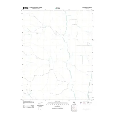
2012 Map of Logan Ridge
USGS Topo · Published 2012About this map
Logan Ridge dominates the southern landscape of this Glenn County quadrangle, rising above the floor of the Antelope Valley. The terrain is defined by a series of drainages, including Logan Cr and Hunters Cr, which flow eastward toward the agricultural lowlands. The massive infrastructure of the Tehama Colusa Canal cuts a prominent north-south path through the center of the sheet, illustrating the critical role of water management in this part of California.
Find a feature on this map
21 named features on this map. Tap any name to fly to it.
Don’t see what you’re looking for? This feature index may not catch every label — zoom into the map to look around manually.
Map Details
Editions of this 2012 Logan Ridge Map
This is the sole edition of this map. No revisions or reprints were ever made.
Other maps of this area

1904 · Logan Creek
USGS Topo · 1:24,000

1904 · Sites
USGS Topo · 1:24,000

1906 · Maxwell
USGS Topo · 1:62,500

1906 · Willows
USGS Topo · 1:62,500

1917 · Kurand
USGS Topo · 1:31,680

1917 · Lyman
USGS Topo · 1:31,680

1917 · Logandale
USGS Topo · 1:31,680

1917 · Sites
USGS Topo · 1:31,680

1917 · Delevan
USGS Topo · 1:31,680

1918 · Logan Creek
USGS Topo · 1:31,680