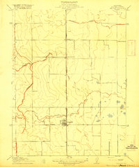
1917 Map of Delevan
USGS Topo · Published 1917This historical map portrays the area of Delevan in 1917, primarily covering Colusa County. Featuring a scale of 1:31680, this map provides a highly detailed snapshot of the terrain, roads, buildings, counties, and historical landmarks in the Delevan region at the time. Published in 1917, it is the sole known edition of this map.
Map Details
Editions of this 1917 Delevan Map
This is the sole edition of this map. No revisions or reprints were ever made.
Historical Maps of Colusa County Through Time
30 maps found
1904 Sites
Colusa County, CA
1905 Fairview
Colusa County, CA
1905 Harrington
Colusa County, CA
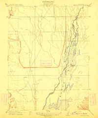
1911 Sanborn Slough
Colusa County, CA
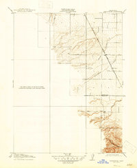
1916 Harrington
Colusa County, CA
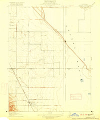
1916 Hershey
Colusa County, CA
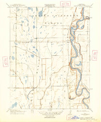
1917 Compton Landing
Colusa County, CA

1917 Delevan
Colusa County, CA
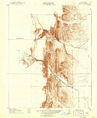
1917 Sites
Colusa County, CA
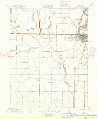
1918 Powell Slough
Colusa County, CA
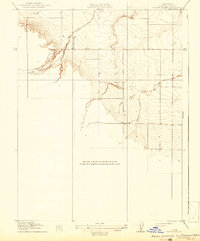
1918 Spring Valley
Colusa County, CA
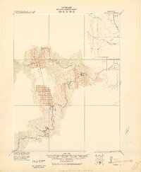
1920 Venado
Colusa County, CA
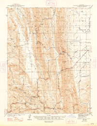
1944 Wilbur Springs
Colusa County, CA
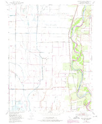
1952 Moulton Weir
Colusa County, CA
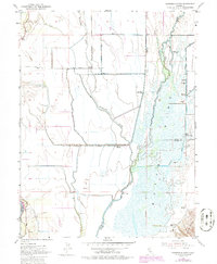
1952 Sanborn Slough
Colusa County, CA
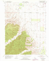
1953 Cortina Creek
Colusa County, CA
1958 Glascock Mtn
Colusa County, CA
1958 Manor Slough
Colusa County, CA
1958 Sites
Colusa County, CA
1959 Wildwood School
Colusa County, CA
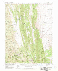
1961 Wilbur Springs
Colusa County, CA
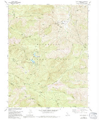
1968 Fouts Springs
Colusa County, CA
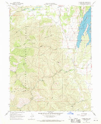
1968 Gilmore Peak
Colusa County, CA
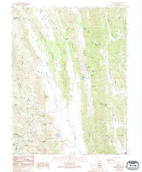
1989 Leesville
Colusa County, CA
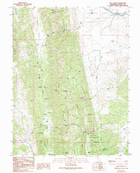
1989 Salt Canyon
Colusa County, CA
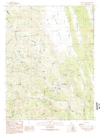
1989 Wilbur Springs
Colusa County, CA
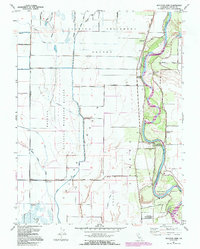
1991 Moulton Weir
Colusa County, CA
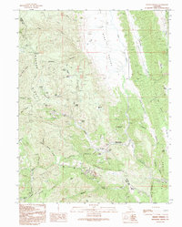
1991 Wilbur Springs
Colusa County, CA
1996 Fouts Springs
Colusa County, CA
1996 Gilmore Peak
Colusa County, CA