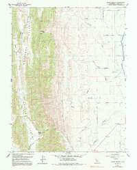
1958 Map of Manor Slough
USGS Topo · Published 1991About this map
Antelope Valley and the surrounding coastal ranges dominate this late-1950s landscape, where steep ridgelines give way to the intricate drainage systems of the Sacramento Valley floor. The settlement of Mountain House serves as a lone landmark at the base of the hills, marking the intersection of the elevated terrain and the agricultural flats. Water management defines the eastern half of the map, characterized by the Glenn-Colusa Canal and the winding course of Manor Slough. The surveyor’s notes from 1958 document a transition from the natural flow of Lurline Creek and Freshwater Creek into a regulated network of lateral roads and siphons. This topographic study captures a moment of intensive land use, showing the contrast between the uncultivated slopes of Boxer Valley and the engineered irrigation infrastructure essential for the region's ranching and farming economy.
Find a feature on this map
32 named features on this map. Tap any name to fly to it.
Don’t see what you’re looking for? This feature index may not catch every label — zoom into the map to look around manually.
Map Details
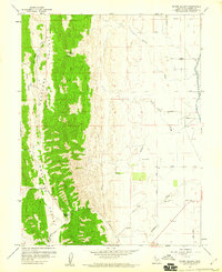
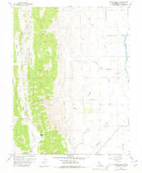
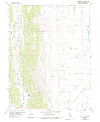
Editions of this 1958 Manor Slough Map
4 editions found
Other maps of this area

1904 · Sites
USGS Topo · 1:24,000

1905 · Fairview
USGS Topo · 1:24,000

1906 · Maxwell
USGS Topo · 1:62,500

1907 · Colusa
USGS Topo · 1:62,500

1917 · Sites
USGS Topo · 1:31,680

1917 · Delevan
USGS Topo · 1:31,680

1918 · Williams
USGS Topo · 1:31,680

1918 · Spring Valley
USGS Topo · 1:31,680

1920 · Venado
USGS Topo · 1:62,500

1942 · Colusa
USGS Topo · 1:62,500