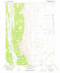
1958 Map of Manor Slough
USGS Topo · Published 1980About this map
Antelope Valley and the western edge of the Sacramento Valley converge in this 1958 survey, where the landscape transitions from the foothills of the Coast Ranges to the irrigated lowlands. The presence of Mountain House along the Old Wilbur Freshwater creek bed highlights a legacy of early California travel routes, situated near the intersection of the Leesville Road and Huffmaster Road. This area served as a critical corridor for moving livestock and goods between the central valley and the interior mountains.
Find a feature on this map
24 named features on this map. Tap any name to fly to it.
Don’t see what you’re looking for? This feature index may not catch every label — zoom into the map to look around manually.
Map Details
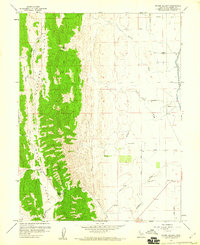
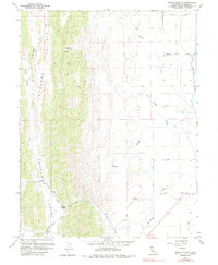
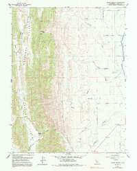
Editions of this 1958 Manor Slough Map
4 editions found
Other maps of this area

1904 · Sites
USGS Topo · 1:24,000

1905 · Fairview
USGS Topo · 1:24,000

1906 · Maxwell
USGS Topo · 1:62,500

1907 · Colusa
USGS Topo · 1:62,500

1917 · Sites
USGS Topo · 1:31,680

1917 · Delevan
USGS Topo · 1:31,680

1918 · Williams
USGS Topo · 1:31,680

1918 · Spring Valley
USGS Topo · 1:31,680

1920 · Venado
USGS Topo · 1:62,500

1942 · Colusa
USGS Topo · 1:62,500