
1918 Map of Williams
USGS Topo · Published 1918About this map
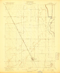
Williams serves as the primary hub of this Colusa County landscape, shown during an era of significant agricultural and rail development. The town layout is clearly defined along the Southern Pacific (Woodland Line), which cuts a diagonal path through the valley floor. To the north, the small settlement of Colusa Junction marks the intersection of the main rail line with the Colusa and Lake railroad, while the western reaches include Lurline and the Nelson area.
Find a feature on this map
12 named features on this map. Tap any name to fly to it.
Don’t see what you’re looking for? This feature index may not catch every label — zoom into the map to look around manually.
Map Details
Editions of this 1918 Williams Map
This is the sole edition of this map. No revisions or reprints were ever made.
Other maps of this area

1904 · Sites
USGS Topo · 1:24,000

1905 · Fairview
USGS Topo · 1:24,000

1906 · Maxwell
USGS Topo · 1:62,500

1907 · Colusa
USGS Topo · 1:62,500

1917 · Compton Landing
USGS Topo · 1:31,680

1917 · Sites
USGS Topo · 1:31,680

1917 · Delevan
USGS Topo · 1:31,680

1918 · Spring Valley
USGS Topo · 1:31,680
1918 · Arbuckle
USGS Topo · 1:31,680
1918 · Powell Slough
USGS Topo · 1:31,680