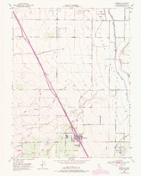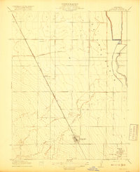
1918 Map of Arbuckle
USGS Topo · Published 1918About this map
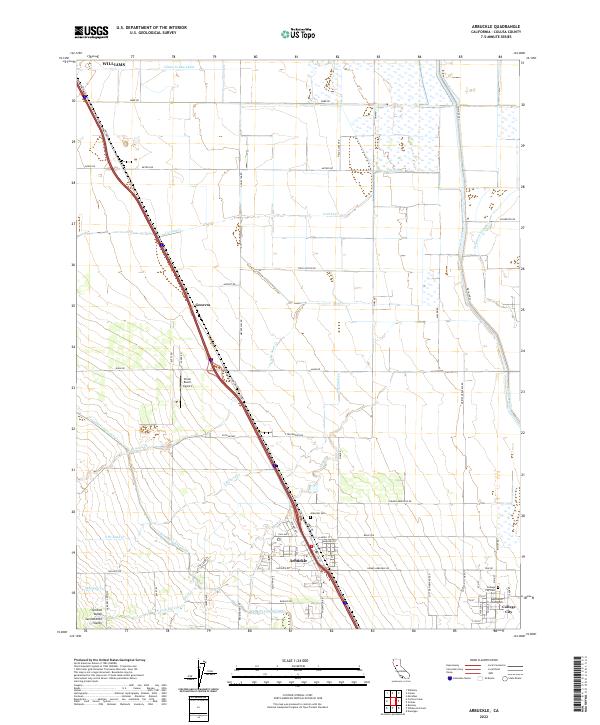
Arbuckle serves as the primary hub of this Sacramento Valley landscape, situated along the Southern Pacific (Woodland Line). The geography is defined by a series of seasonal waterways flowing eastward from the foothills, including Cortina Creek, Salt Creek, Sand Creek, and Elk Creek. These drainages converge toward the Colusa Basin, an area marked by extensive water management infrastructure. Notable examples include the Sycamore Canal, Davis Levee, and the Old Davis Levee, illustrating early 20th-century efforts to reclaim and protect agricultural land from the overflow of Sycamore Slough.
Find a feature on this map
19 named features on this map. Tap any name to fly to it.
Don’t see what you’re looking for? This feature index may not catch every label — zoom into the map to look around manually.
Map Details
Editions of this 1918 Arbuckle Map
This is the sole edition of this map. No revisions or reprints were ever made.
Historical Maps of Williams Through Time
6 maps found