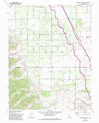
1959 Map of Wildwood School
USGS Topo · Published 1993About this map
Buckeye Creek and its many tributaries, including Petroleum Creek and Little Buckeye Creek, carve through the landscape of the Dunnigan Hills at the intersection of the Colusa Co Yolo Co line. This region is defined by its agricultural and industrial infrastructure, where an Old Railroad Grade and the Tehama-Colusa Canal trace the eastern plains. The settlement at Harrington and the namesake Wildwood School serve as local focal points amidst a network of rural avenues and roads named for early families and geography, such as Harrington Avenue and Perkins Road. The topography shifts from the flat valley floor to the dissected slopes of Buckeye Canyon and Murphy Canyon, illustrating the transition from open range to the upland drainages of Whiskey Creek and Wildcat Creek.
Find a feature on this map
34 named features on this map. Tap any name to fly to it.
Don’t see what you’re looking for? This feature index may not catch every label — zoom into the map to look around manually.
Map Details
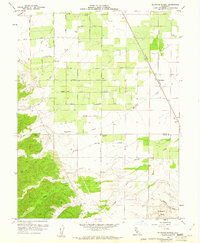
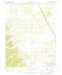
Editions of this 1959 Wildwood School Map
3 editions found
Other maps of this area

1888 · Marysville
USGS Topo · 1:125,000

1891 · Marysville
USGS Topo · 1:125,000

1894 · Marysville
USGS Topo · 1:125,000

1895 · Marysville
USGS Topo · 1:125,000

1905 · Harrington
USGS Topo · 1:24,000

1907 · Dunnigan
USGS Topo · 1:62,500

1907 · Colusa
USGS Topo · 1:62,500

1911 · Grimes
USGS Topo · 1:31,680

1916 · Harrington
USGS Topo · 1:31,680

1916 · Hershey
USGS Topo · 1:31,680