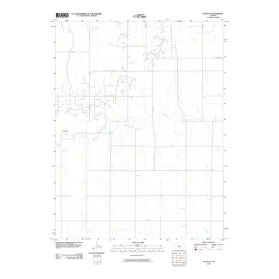
2009 Map of Logan SE
USGS Topo · Published 2009About this map
Prairie Dale Cemetery stands as a quiet focal point in this portion of Phillips County, where the rural landscape is defined by a strictly organized grid of sections and section-line roads. This high-plains geography is etched by the winding course of Bow Creek and Sand Creek, which provide the primary relief in an otherwise vast expanse of agricultural territory. The northern edge of the map features Logan City Lake, a significant water body for the local area. While much of the infrastructure follows standard numerical designations like W 1400 Ln, the emergence of residential-style naming conventions is evident in labels such as W Cozy Cove Rd and W Day Dream Rd, suggesting localized development or recreation-focused settlement patterns near the lake at the start of the 21st century.
Find a feature on this map
19 named features on this map. Tap any name to fly to it.
Don’t see what you’re looking for? This feature index may not catch every label — zoom into the map to look around manually.
Map Details
Editions of this 2009 Logan SE Map
This is the sole edition of this map. No revisions or reprints were ever made.
Other maps of this area

1893 · Norton
USGS Topo · 1:125,000

1893 · Phillipsburg
USGS Topo · 1:125,000

1893 · Hill
USGS Topo · 1:125,000

1896 · Plainville
USGS Topo · 1:125,000

1952 · Webster Dam
USGS Topo · 1:24,000

1955 · Beloit
USGS Topo · 1:250,000

1959 · Beloit
USGS Topo · 1:250,000

1969 · Nicodemus
USGS Topo · 1:24,000

1972 · Speed
USGS Topo · 1:24,000

1972 · Glade SW
USGS Topo · 1:24,000