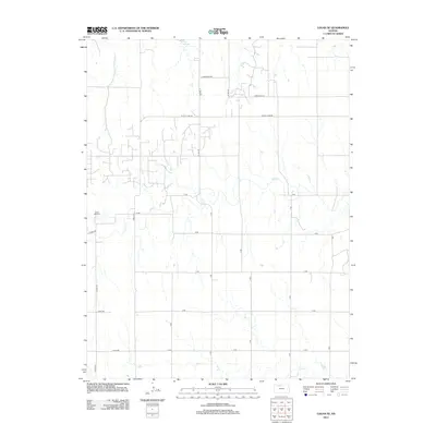
2012 Map of Logan SE
USGS Topo · Published 2012About this map
Logan City Lake sits at the northern edge of this high plains landscape, where the agricultural grid of Phillips County is interrupted by the meandering course of Bow Cr. The terrain is defined by these seasonal drainage patterns and a network of section line roads like A RD and Co RD-575. For those tracing local genealogy or land use, the Prairie Dale Cem serves as a significant landmark in the western portion of the map, situated just off A Ter. This 2012 survey illustrates the modern rural infrastructure of the region, where residential lanes such as W Cozy Cove Rd and W Big Bear Rd reflect more recent development patterns near the water's edge, contrasting with the long-established cemetery and traditional creek crossings found further south toward Sand Cr.
Find a feature on this map
26 named features on this map. Tap any name to fly to it.
Don’t see what you’re looking for? This feature index may not catch every label — zoom into the map to look around manually.
Map Details
Editions of this 2012 Logan SE Map
This is the sole edition of this map. No revisions or reprints were ever made.
Other maps of this area

1893 · Norton
USGS Topo · 1:125,000

1893 · Phillipsburg
USGS Topo · 1:125,000

1893 · Hill
USGS Topo · 1:125,000

1896 · Plainville
USGS Topo · 1:125,000

1952 · Webster Dam
USGS Topo · 1:24,000

1955 · Beloit
USGS Topo · 1:250,000

1959 · Beloit
USGS Topo · 1:250,000

1969 · Nicodemus
USGS Topo · 1:24,000

1972 · Speed
USGS Topo · 1:24,000

1972 · Glade SW
USGS Topo · 1:24,000