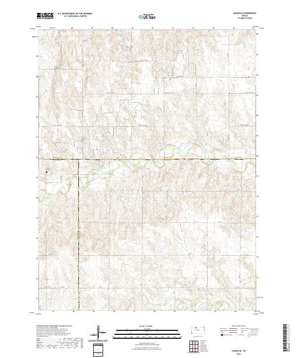
2022 Map of Logan SE
USGS Topo · Published 2022About this map
Logan City Lake sits in the northern reaches of this rural landscape, where the borders of Phillips, Graham, and Rooks counties converge. The terrain is defined by the winding paths of Bow Creek and Sand Creek, which carve through the plains and dictate the local drainage patterns. This map documents a quiet, sparsely populated corner of Kansas where the section-line road grid adapts to the natural draws and valleys.
Find a feature on this map
35 named features on this map. Tap any name to fly to it.
Don’t see what you’re looking for? This feature index may not catch every label — zoom into the map to look around manually.
Map Details
Editions of this 2022 Logan SE Map
This is the sole edition of this map. No revisions or reprints were ever made.
Other maps of this area

1893 · Norton
USGS Topo · 1:125,000

1893 · Phillipsburg
USGS Topo · 1:125,000

1893 · Hill
USGS Topo · 1:125,000

1896 · Plainville
USGS Topo · 1:125,000

1952 · Webster Dam
USGS Topo · 1:24,000

1955 · Beloit
USGS Topo · 1:250,000

1959 · Beloit
USGS Topo · 1:250,000

1969 · Nicodemus
USGS Topo · 1:24,000

1972 · Speed
USGS Topo · 1:24,000

1972 · Glade SW
USGS Topo · 1:24,000