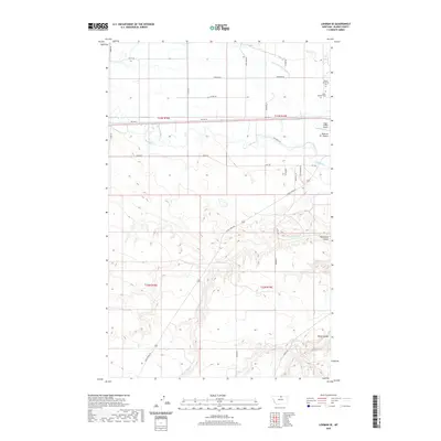
2020 Map of Lohman SE
USGS Topo · Published 2020About this map
The Milk River meanders across this portion of Blaine County, defining the local geography alongside the Fort Belknap Canal. The northern plains are marked by early 21st-century infrastructure and land use, with the Edgar G Obie Airport serving as a localized aviation waypoint. Significant for family historians and genealogists, the landscape includes the Kuper Memorial Cem and Saint Gabriel Cem located near the northeast corner. Moving south, the terrain transitions into a series of distinctive drainage features, including Redrock Coulee, Threemile Coulee, and Black Coulee. Transportation in the area relies on a network of rural routes such as Old Hwy 2, Yantic Rd, and Clear Creek Rd, which provide access through the open country and across several branches of Three-Mile Cr.
Find a feature on this map
34 named features on this map. Tap any name to fly to it.
Don’t see what you’re looking for? This feature index may not catch every label — zoom into the map to look around manually.
Map Details
Editions of this 2020 Lohman SE Map
This is the sole edition of this map. No revisions or reprints were ever made.
Other maps of this area

1904 · Yantic
USGS Topo · 1:62,500

1904 · Chinook
USGS Topo · 1:62,500

1912 · Zurich
USGS Topo · 1:125,000

1953 · Havre
USGS Topo · 1:250,000

1956 · Lloyd
USGS Topo · 1:62,500

1956 · Cleveland
USGS Topo · 1:62,500

1957 · Havre
USGS Topo · 1:250,000

1958 · Havre
USGS Topo · 1:250,000

1964 · Rabbit Hills
USGS Topo · 1:24,000

1964 · Telescope Coulee
USGS Topo · 1:24,000