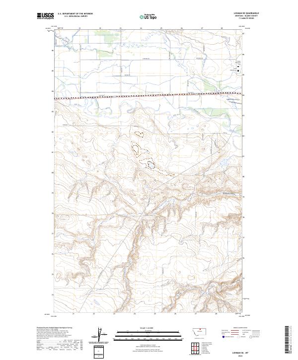
2024 Map of Lohman SE
USGS Topo · Published 2024About this map
The Milk River meanders across the northern portion of this Blaine County landscape, carving a wide valley floor flanked by intricate drainage systems. In the northeastern corner, the Saint Gabriel Cem and Kuper Memorial Cem sit on higher ground above the river, providing significant points of interest for genealogists researching the local area. The terrain transitions from the alluvial plains of the river to a complex network of dry washes and coulees to the south, including Threemile Coulee and Black Coulee. This division between the watered valley and the higher prairie is bridged by a network of rural routes such as Prairie Rd and Clear Creek RD. Near the river, the Edgar G Obie Airport and the path of Old Hwy 2 indicate the importance of this corridor for regional transportation and commerce in northern Montana.
Find a feature on this map
33 named features on this map. Tap any name to fly to it.
Don’t see what you’re looking for? This feature index may not catch every label — zoom into the map to look around manually.
Map Details
Editions of this 2024 Lohman SE Map
This is the sole edition of this map. No revisions or reprints were ever made.
Other maps of this area

1904 · Yantic
USGS Topo · 1:62,500

1904 · Chinook
USGS Topo · 1:62,500

1912 · Zurich
USGS Topo · 1:125,000

1953 · Havre
USGS Topo · 1:250,000

1956 · Lloyd
USGS Topo · 1:62,500

1956 · Cleveland
USGS Topo · 1:62,500

1957 · Havre
USGS Topo · 1:250,000

1958 · Havre
USGS Topo · 1:250,000

1964 · Rabbit Hills
USGS Topo · 1:24,000

1964 · Telescope Coulee
USGS Topo · 1:24,000