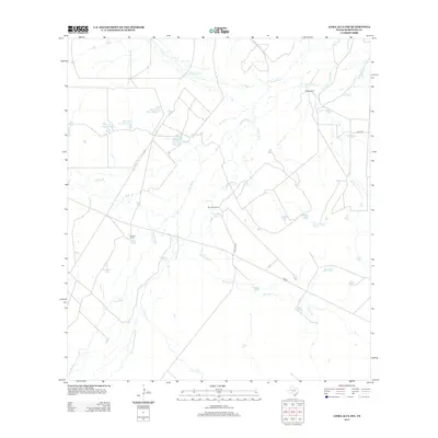
2012 Map of Loma Alta NW
USGS Topo · Published 2012About this map
The Nueces River winds through this South Texas landscape, accompanied by the Old Nueces River Channel and several distinctive sloughs such as Winn Lake Slue and Outside Slue. Ranching heritage is prominent across the terrain, marked by family-named landmarks like Miles Ranch, San Jose Ranch, and the Chimney Ranch House Tank. These holdings rely on an extensive network of water management features, including Bob Hinces Lake Number 1, Douglas Tank, and Alligator Lake. Transportation in this part of McMullen County is defined by the intersection of FM 624 with rural routes like San Jose Rd and Miles Rd. The map illustrates a modern ranching environment where intermittent streams like Guadalupe Cr and Ygnacio Cr feed into a complex system of tanks and sloughs, essential for land use in this arid region.
Find a feature on this map
34 named features on this map. Tap any name to fly to it.
Don’t see what you’re looking for? This feature index may not catch every label — zoom into the map to look around manually.
Map Details
Editions of this 2012 Loma Alta NW Map
This is the sole edition of this map. No revisions or reprints were ever made.
Other maps of this area

1930 · Tilden
USGS Topo · 1:62,500

1937 · Loma Alta
USGS Topo · 1:62,500

1942 · Fowlerton
USGS Topo · 1:62,500

1942 · Tilden
USGS Topo · 1:62,500

1953 · Crystal City
USGS Topo · 1:250,000

1955 · Crystal City
USGS Topo · 1:250,000

1956 · Piedra Creek
USGS Topo · 1:62,500

1956 · Fowlerton
USGS Topo · 1:62,500

1961 · Crystal City
USGS Topo · 1:250,000

1968 · Crystal City
USGS Topo · 1:250,000