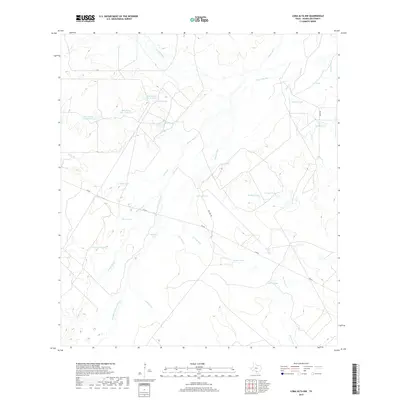
2019 Map of Loma Alta NW
USGS Topo · Published 2019About this map
The Nueces River winds through the heart of this McMullen County landscape, its meandering path defined by complex riparian features like the Old Nueces River Channel and Winn Lake Slue. This 2019 survey documents a terrain dominated by hydrologic management and ranching infrastructure, characterized by an extensive network of named stock tanks and catchment basins. Local land use is reflected in features such as Dinosaur Tank, George Tank, and Arthur Tank, alongside the larger reservoirs of Bob Hinces Lake Number 1 and its numbered counterparts. The drainage patterns of San Jose Cr and Elm Slue further illustrate the watershed's role in supporting South Texas agricultural interests. Apart from FM 624 and local routes like San Jose Rd, the area remains largely undeveloped, preserving the original hydrological signatures of Alligator Lake and the river's former courses.
Find a feature on this map
31 named features on this map. Tap any name to fly to it.
Don’t see what you’re looking for? This feature index may not catch every label — zoom into the map to look around manually.
Map Details
Editions of this 2019 Loma Alta NW Map
This is the sole edition of this map. No revisions or reprints were ever made.
Other maps of this area

1930 · Tilden
USGS Topo · 1:62,500

1937 · Loma Alta
USGS Topo · 1:62,500

1942 · Fowlerton
USGS Topo · 1:62,500

1942 · Tilden
USGS Topo · 1:62,500

1953 · Crystal City
USGS Topo · 1:250,000

1955 · Crystal City
USGS Topo · 1:250,000

1956 · Piedra Creek
USGS Topo · 1:62,500

1956 · Fowlerton
USGS Topo · 1:62,500

1961 · Crystal City
USGS Topo · 1:250,000

1968 · Crystal City
USGS Topo · 1:250,000