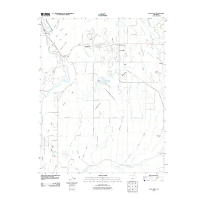
2010 Map of Loma Linda
USGS Topo · Published 2010About this map
Florida Mesa and the surrounding high country southeast of Durango define this landscape at the end of the first decade of the 21st century. The map illustrates a complex water management system essential for high-altitude agriculture, featuring a dense network of irrigation channels like the Florida Farmers Ditch, Pioneer Ditch, and Florida Canal. These waterways snake across the terrain to supply local reservoirs, including Pastorius Reservoir near the center of the quadrangle and the smaller Short Reservoir to the southwest.
Find a feature on this map
94 named features on this map. Tap any name to fly to it.
Don’t see what you’re looking for? This feature index may not catch every label — zoom into the map to look around manually.
Map Details
Editions of this 2010 Loma Linda Map
This is the sole edition of this map. No revisions or reprints were ever made.
Other maps of this area

1898 · Durango
USGS Topo · 1:62,500

1907 · Durango
USGS Topo · 1:62,500

1908 · Ignacio
USGS Topo · 1:125,000

1908 · Durango
USGS Topo · 1:62,500

1924 · Ignacio
USGS Topo · 1:125,000

1945 · Durango
USGS Topo · 1:250,000

1953 · Durango
USGS Topo · 1:250,000

1954 · Durango
USGS Topo · 1:250,000

1961 · Durango
USGS Topo · 1:250,000

1963 · Durango
USGS Topo · 1:250,000