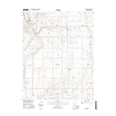
2016 Map of Loma Linda
USGS Topo · Published 2016About this map
The Florida Mesa plateau dominates this landscape southeast of Durango, where the Animas River and Florida River carve deep drainages through the terrain. A network of early irrigation systems, including the Florida Canal, Florida Farmers Ditch, and McClure Murray Ditch, illustrates the agricultural foundation of settlements like Falfa and Grandview. To the north, the junction of US Highway 160 and CO Highway 172 serves as a modern transport hub near Piñon Acres and Loma Linda.
Find a feature on this map
140 named features on this map. Tap any name to fly to it.
Don’t see what you’re looking for? This feature index may not catch every label — zoom into the map to look around manually.
Map Details
Editions of this 2016 Loma Linda Map
This is the sole edition of this map. No revisions or reprints were ever made.
Other maps of this area

1898 · Durango
USGS Topo · 1:62,500

1907 · Durango
USGS Topo · 1:62,500

1908 · Ignacio
USGS Topo · 1:125,000

1908 · Durango
USGS Topo · 1:62,500

1924 · Ignacio
USGS Topo · 1:125,000

1945 · Durango
USGS Topo · 1:250,000

1953 · Durango
USGS Topo · 1:250,000

1954 · Durango
USGS Topo · 1:250,000

1961 · Durango
USGS Topo · 1:250,000

1963 · Durango
USGS Topo · 1:250,000